3D mouse for GIS users
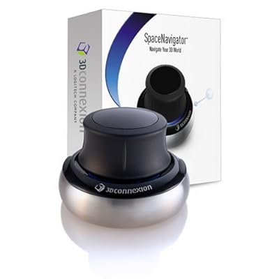
3Dconnexion, a Logitech company, announced its SpaceNavigator 3D mouse is now supported by the ESRI ArcGIS Desktop products. Using the SpaceNavigator device, GIS professionals, can simultaneously pan, zoom and rotate camera views to better visualize geographic information when navigating 3D maps and models. The freedom of navigation provided by the SpaceNavigator 3D mouse enhances map and spatial analysis, collapsing the time between viewing and understanding.
The integration of 3D data in GIS applications has grown, changing how GIS users interact with geographic information. Advanced 3D navigation allows ESRI users to explore data-rich environments in a way that cannot be achieved with a mouse and keyboard alone. With the SpaceNavigator 3D mouse, users apply very slight movements to the device’s controller cap to seamlessly fly through 3D terrain.
ArcGIS Desktop supports SpaceNavigator on Windows XP. SpaceNavigator Personal Edition (MSRP USD 59) and SpaceNavigator Standard Edition (MSRP USD99) are available from major online resellers including Amazon, CDW, Dell, and PC Mall as well as directly at http://www.3dconnexion.com/.
Source : http://www.3dconnexion.com
Ingen kommentarer:
Send en kommentar