http://www.codeplex.com/SharpMap
Showing ESRI Shapefile Layers on a Virtual Earth Map: a simple HowTo
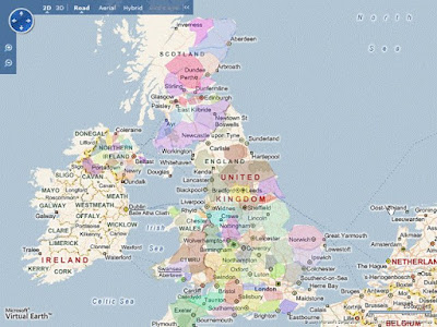
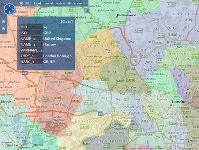
If you've ever tried to find a way to display an ESRI ShapeFile on a Virtual Earth map, you'll have probably noticed how little information there is on the Internet about how to accomplish this apparently arduous task.
As a matter of fact, I needed to do exactly this while adding some collateral features to the software Serena and I are developing for our thesis, but after some Googling, I found that there was (and there still is) almost no useful information on how to achieve integration between Virtual Earth and ESRI Shapefiles.
So I had to figure out what I judge a rather clean solution by myself. After all, I thought I could fill the void on this topic and help someone else avoid to switch "lazy mode" off by writing an article about it ;)
By the way, with the technique I'm describing, you're going to be able to not only display Shapefiles as layers on Virtual Earth, but also interact with them in countless ways: extract data from them, maybe show data associated with a shape when you click on it on the map, even modify or create new Shapefiles. All of this care of SharpMap, one of the best (if not the best) open source .NET libraries for GIS.
Actually, SharpMap does much, much more than this... it even has a performing rendering engine for spatial data, so it really is an understatement to think of it as a mere instrument to get ESRI data into our Virtual Earth maps. In fact I strongly recommend to go and give a look at the SharpMap project page on CodePlex.


Ingen kommentarer:
Send en kommentar