
Nu kan adressebogen hurtig geokodes eller kundeliste ... hvor bor kunderne ?
/Sik

Now your address book can be geocoded or what about your customer list ?
/Sik
Quote
This is one of the neater online mapping applications I’ve seen in a while. Create a list of addresses and related information in a Google Docs spreadsheet, and map a list will geocode the addresses (convert the address to latitude/longitude), and plot the location and data in a Google Maps interface:
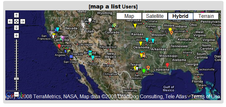
You can also export the data as a KML file for use in Google Earth.
[...]Read more: http://freegeographytools.com/2008/geocode-a-google-docs-spreadsheet-and-plot-it-in-google-mapsearth-with-map-a-list
Ingen kommentarer:
Send en kommentar