
Endnu en åben source viewer ... Jeg ved snart ikke ... Jeg kan godt lide ideen, men føler efterhånden at jeg er ved at drukne i muligheder ... Hvornår skal man springe på vognen og hvornår skal man hoppe af?
/Sik

Yet another open source map viewer ... I don't know what to say ... I like the idea but feel at the moment overwhelmed by all the possibilities ... When to join and when to leave? No hard words intended ...
/Sik
Quote
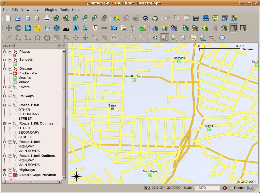
Quantum GIS (QGIS) is a user friendly Open Source Geographic Information System (GIS), licensed under the GNU General Public License, that runs on Linux, Unix, Mac OSX, and Windows. QGIS is Open Source software and its free of cost. It supports vector, raster, and database formats (including the most common ESRI ShapeFile and geotiff). QGIS supports a wide variety of plugins to do things like display tracks from your GPS, and much more. They can be easily managed through the Plugin Manager. [...]
QGIS 1.0 brings with it a wealth of improvements, over 265 bug fixes and many new features. This is also a landmark release in that it is our first API stable release and contains a core set of features needed to make QGIS into a very capable and user friendly GIS data browser. There are some things that didn't make it into this release, most notably support for advanced labelling - which we will incorporate into our next point release. Now that 1.0 is out we won't be resting on our laurels - there are still many bug fixes, improvements and new features that need taking care of. We will be continuing bug fixing on the 1.0 release for at least the next year, and will provide maintenance releases when we have significant bug fixes to disseminate. These releases will be numbered with a minor designation (e.g. 1.0.1, 1.0.2 etc) and will contain no new features. We recommend users who are most interested in stability and isolation from change (e.g. on corporate and organisational desktops) to follow the Stable 1.0.x bug fix release series. In addition, we will be incorporating new features into point releases (1.1.0, 1.2.0 etc). These releases will incorporate downstream bug fixes where possible but the focus will be on innovation and integration of new ideas rather than just stability. We recommend the Unstable 1.x point releases for users interested in trying out new features and who don't mind the odd bump in the road. Both the Stable and Unstable release series will maintain backwards API compatibility so that developers can use the QGIS API with confidence that it won't undergo changes and break their applications. [...]
Read more: http://blog.qgis.org/node/123
Read more: http://blog.qgis.org/node/123
Ingen kommentarer:
Send en kommentar