
Få koordineret dimmensionerne ...
/Sik

Ex, why Z?
/Sik
Quote
By Sam Bacharach , Open Geospatial Consortium, Inc.
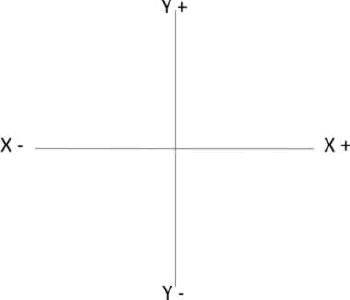
[...] A two-axis system of east-west and north-south was defined using the algebra coordinate system created by mathematician René Descartes in the 1600s. In this Cartesian coordinate system, the tradition is to use (x, y) as the order of the coordinate pair locating a point on a plane. But when north is up - the predominant (though not only) pattern for maps since Ptolemy made maps of ancient Egypt - x measures east-west and y measures north-south. That is, the latitude–longitude order favored by geographers is y, x. So the axis confusion we deal with today has, itself, a longstanding history dating back to the first efforts to relate two different reference systems with two methods of defining the axes. As long as people communicate clearly and accurately the characteristics of the axis-systems in use - "truth in advertising" - the confusion is minimized.
When geodesists connect coordinate systems to the Earth by specifying a datum (locations on the Earth for the axes), we in OGC call that a Coordinate Reference System (CRS). The equator was a natural for a worldwide datum on the east-west axis and over time the Greenwich Meridian, running through Greenwich, U.K., has become the most common location for the north-south axis. [...]
Read more: http://www.directionsmag.com/article.php?article_id=3001&trv=1
Ingen kommentarer:
Send en kommentar