FYI
/Sik

FYI
/Sik

Quote
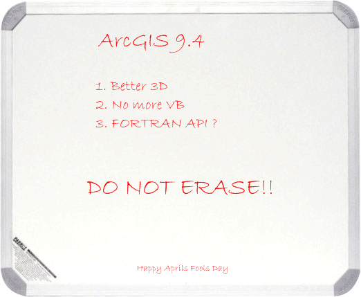
Jack Dangermond, president of ESRI, laid out the current vision for the company’s software architecture, as he usually does to open major user conferences. He explained the that four pillars of the ArcGIS solution suit include software product for desktops, server, mobile platforms, and online. “We employ a strategy similar to Microsoft; we have software and services and they are integrated as a single complete system,” said Dangermond. Recapping advancements since the last FedUC, Dangermond explained that many users were happy to deploy some of the advancements featured in ArcGIS server 9.3, which included improvements for desktop applications, cataloging, metadata, open standards, and especially in spatial analysis such as geospatial regression, Gaussian geostatistical simulations and improved proximity analysis. Many small improvement, such as in cartographic labeling often go unnoticed because they are “small things.” ESRI is extending the Geodatabase to support 3D models and most recently have been developing a set of 3D analytical tools that have not been exposed at the user interface (UI) level but will be in ArcGIS 9.4. [...]
Read more: http://apb.directionsmag.com/archives/5434-Notes-on-ArcGIS-Server-9.3,-9.3.1-9.4.html
Ingen kommentarer:
Send en kommentar